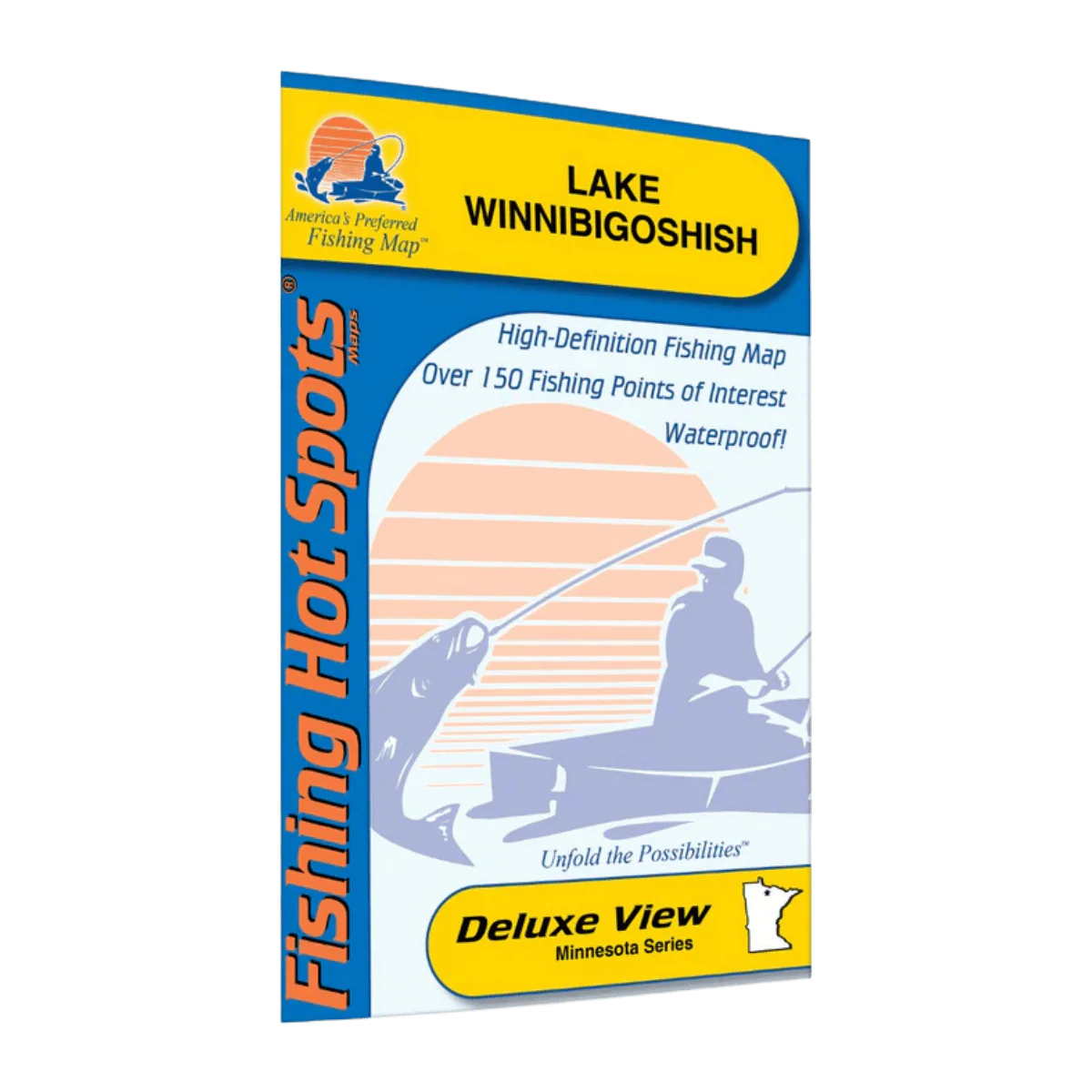
LAKEMAPS AAR LAKE WINNIBIGOSHISH
The Lake Winnibigoshish Fishing Map offers anglers a clear and detailed guide to one of Minnesota’s most productive fisheries. Designed for easy navigation, this map highlights depth contours, structure, and key fishing areas, helping you locate walleye, perch, northern pike, and other game fish more efficiently.
Key Features
-
Detailed Depth Contours: Shows drop-offs, flats, humps, and underwater structure.
-
Fishing Hotspots Marked: Identifies proven areas where fish commonly hold.
-
Access Points & Boat Landings: Helps you find convenient launch locations.
-
Easy-to-Read Layout: Clean design ideal for both beginners and experienced anglers.
-
Durable & Water-Resistant: Built to withstand use on the boat or in the field.
Original: $19.95
-65%$19.95
$6.98Description
The Lake Winnibigoshish Fishing Map offers anglers a clear and detailed guide to one of Minnesota’s most productive fisheries. Designed for easy navigation, this map highlights depth contours, structure, and key fishing areas, helping you locate walleye, perch, northern pike, and other game fish more efficiently.
Key Features
-
Detailed Depth Contours: Shows drop-offs, flats, humps, and underwater structure.
-
Fishing Hotspots Marked: Identifies proven areas where fish commonly hold.
-
Access Points & Boat Landings: Helps you find convenient launch locations.
-
Easy-to-Read Layout: Clean design ideal for both beginners and experienced anglers.
-
Durable & Water-Resistant: Built to withstand use on the boat or in the field.