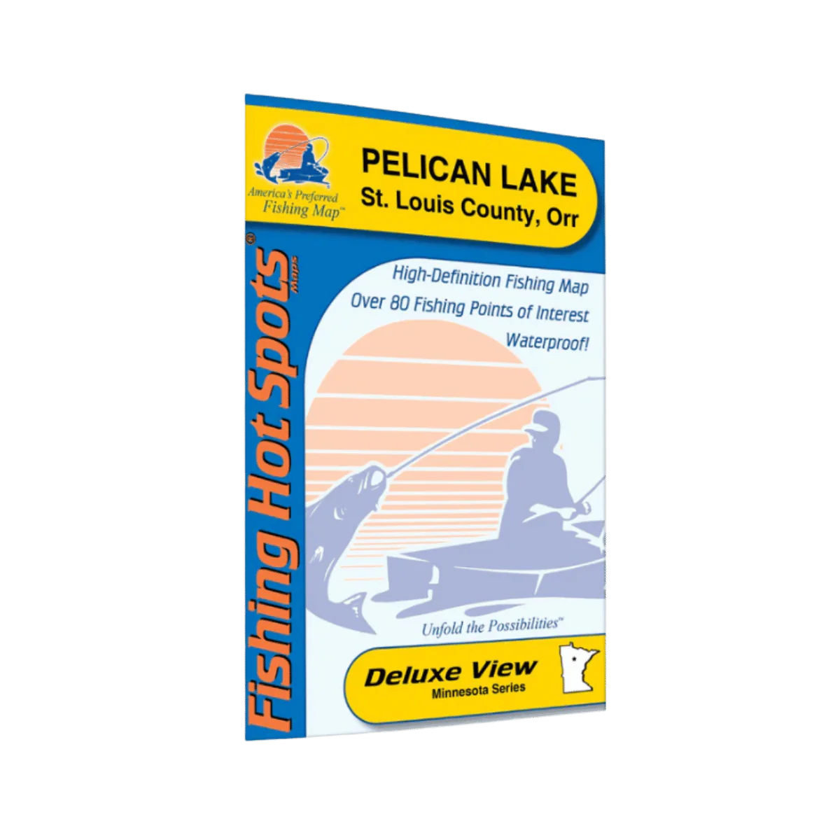
LAKEMAPS/ IN DEPTH FHS - PELICAN LAKE GRANT COUNTRY
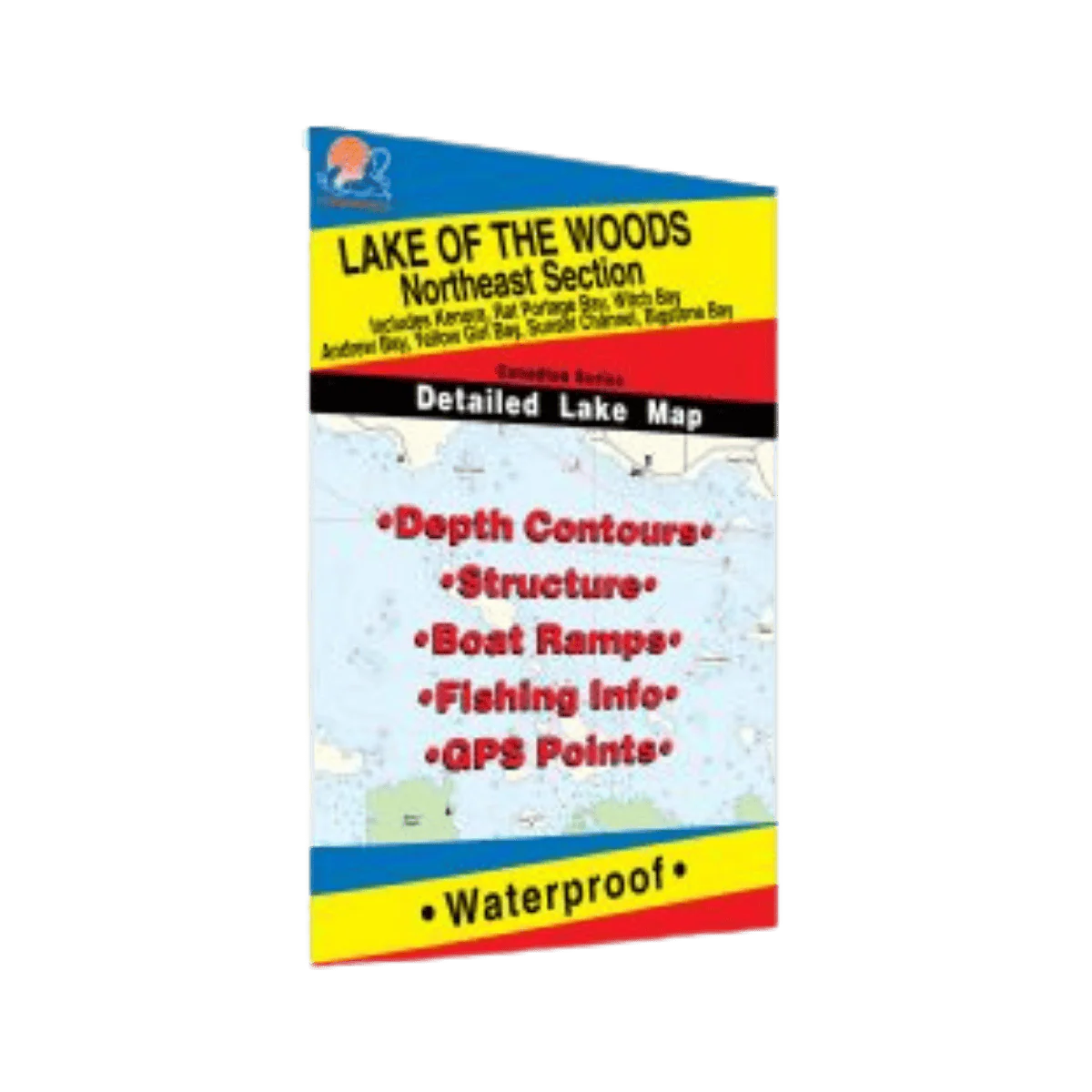
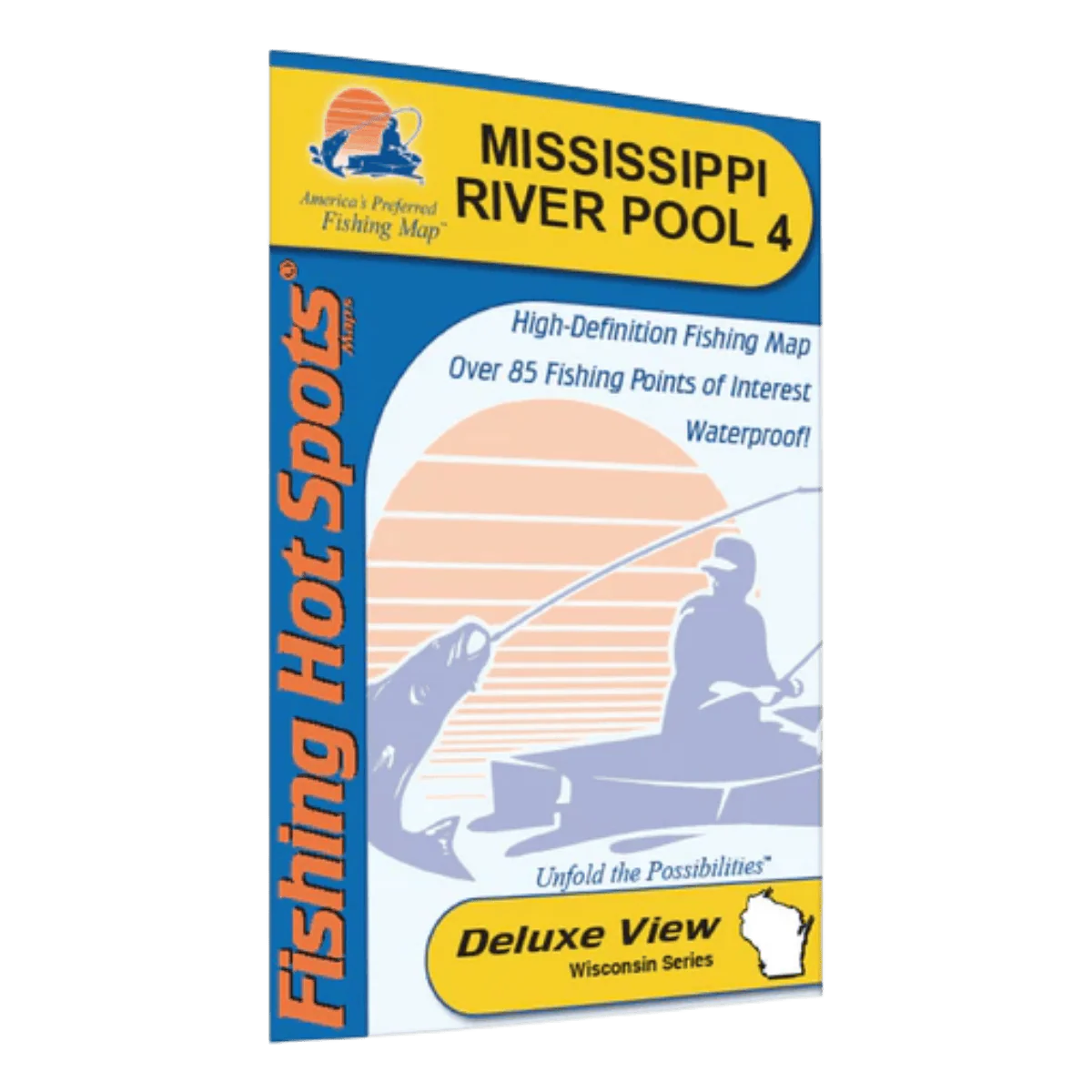
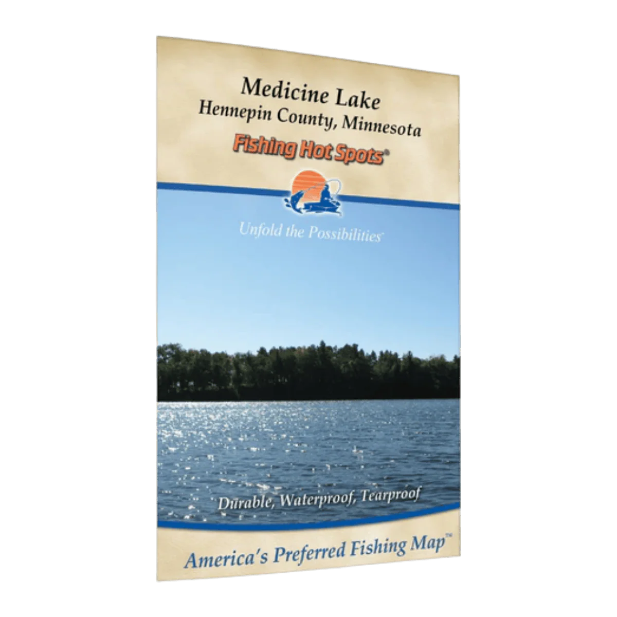
The Lakemaps/In-Depth FHS Pelican Lake Grant County map card is designed to provide anglers with detailed underwater mapping and fishing information for Pelican Lake in Grant County. These map systems typically include high-definition lake contours, depth shading, structure locations, and navigation details to help improve fishing accuracy and on-water navigation. Ideal for ice fishing and open-water anglers targeting productive fishing spots.
Features:
- Detailed Pelican Lake contour mapping
- Depth and structure information
- Designed for fishing and navigation use
- Helpful for locating drop-offs and fish-holding areas
- Compatible with select GPS/fish finder systems
- Useful for both ice fishing and open-water fishing
- Compact and easy-to-install map card format
Original: $9.95
-65%$9.95
$3.48Description
The Lakemaps/In-Depth FHS Pelican Lake Grant County map card is designed to provide anglers with detailed underwater mapping and fishing information for Pelican Lake in Grant County. These map systems typically include high-definition lake contours, depth shading, structure locations, and navigation details to help improve fishing accuracy and on-water navigation. Ideal for ice fishing and open-water anglers targeting productive fishing spots.
Features:
- Detailed Pelican Lake contour mapping
- Depth and structure information
- Designed for fishing and navigation use
- Helpful for locating drop-offs and fish-holding areas
- Compatible with select GPS/fish finder systems
- Useful for both ice fishing and open-water fishing
- Compact and easy-to-install map card format